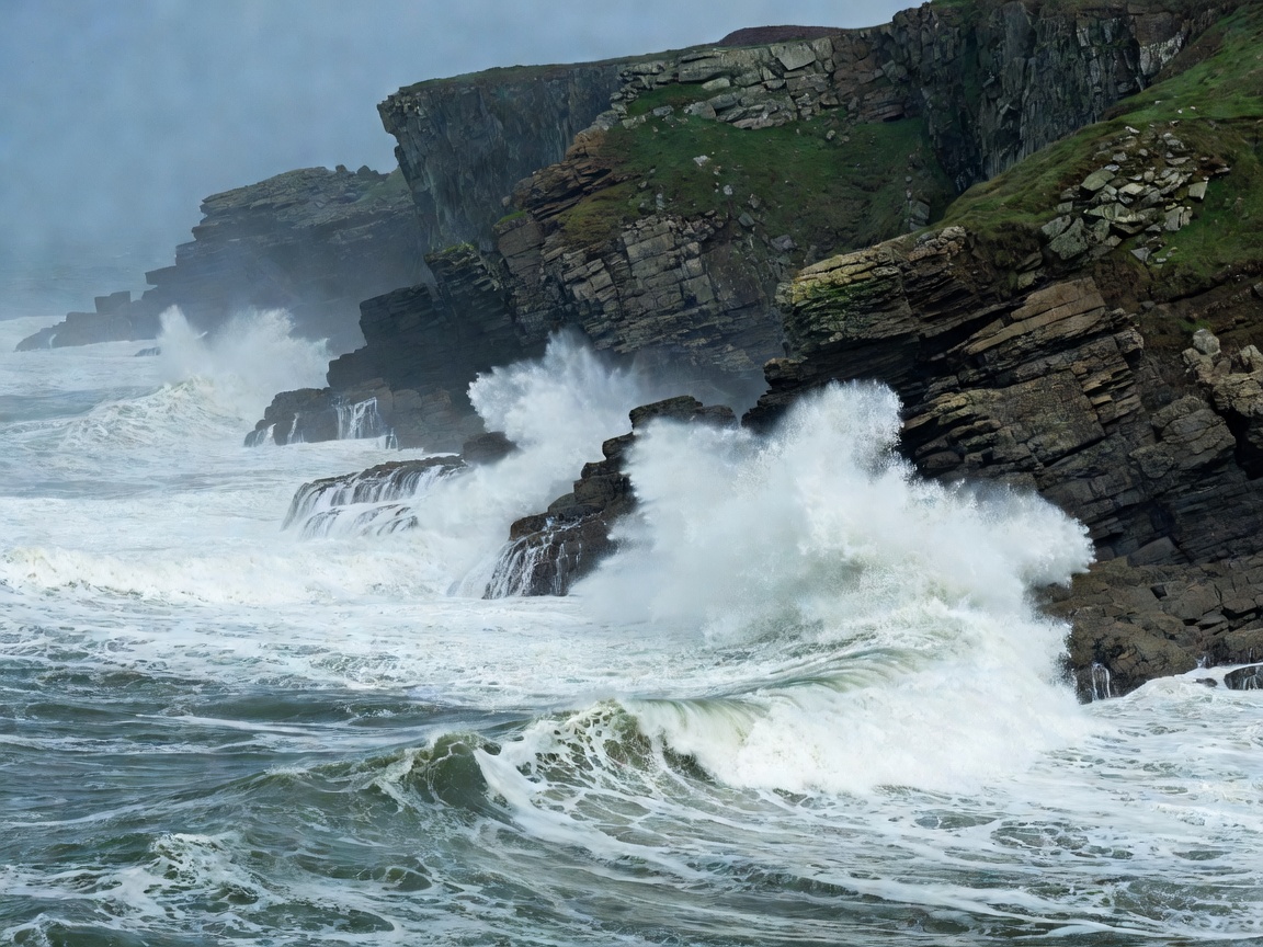
The Geological Boundary
Old Red Sandstone in the south transitions into volcanic gabbro and Ordovician slates in the north, creating stark micro-climates and protected maritime havens.
Beyond the bustling seaside sands of Tenby and Saundersfoot lies a 186-mile coastline carved by Celtic swells, sheer carboniferous limestone cliffs, and quiet tidal inlets rarely disturbed by crowds.
From the secluded sands of Traeth Llyfn to the 6th-century hermitage tucked into St Govan’s fissure, Meadowreelshuffleit documents the lesser-known footpaths, marine sanctuaries, and historic remnants of south-west Wales.
Old Red Sandstone in the south transitions into volcanic gabbro and Ordovician slates in the north, creating stark micro-climates and protected maritime havens.
Select an expedition sector below to examine access routes, high-water pinch points, trail difficulty ratings, and natural heritage considerations.

Descend iron stairways and scrambler gullies to uncover Traeth Llyfn, Church Doors Cove, and Swanlake Bay away from holiday beach traffic.
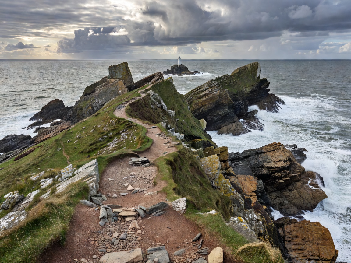
Navigate high-exposure traverses along Strumble Head, the volcanic crags of St David’s Head, and Castlemartin’s remote military buffer zones.
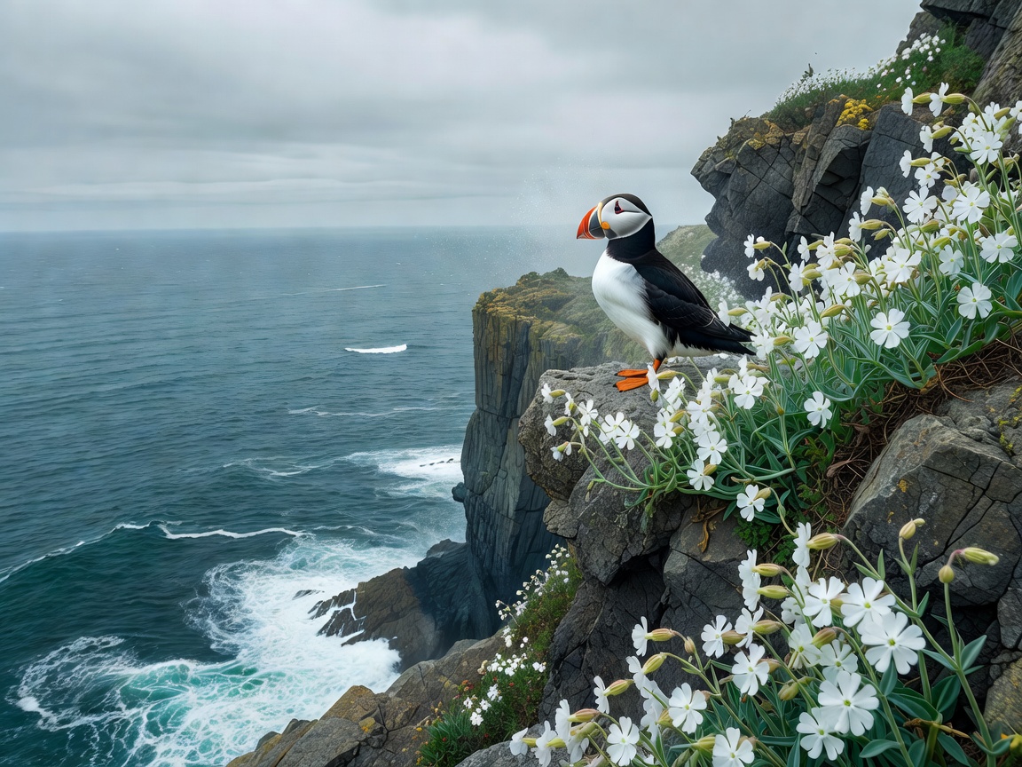
Observe Atlantic grey seal nurseries along Cemaes Head, Skomer Island’s burrow-nesting alcids, and harbor porpoises off the St Davids shelf.
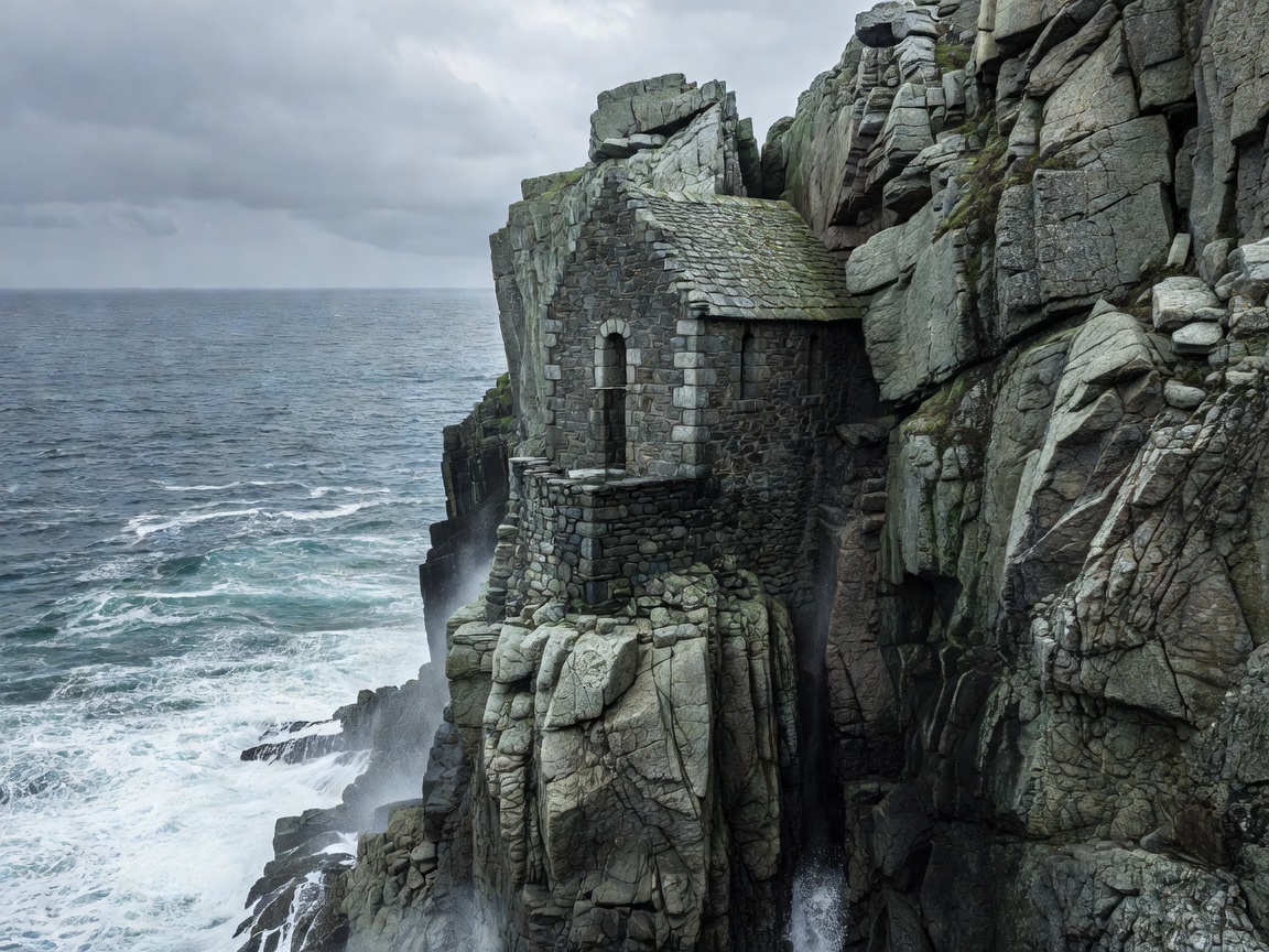
Discover St Govan’s tidal sanctuary, Iron Age ditch-and-rampart promontory defenses, and industrial slate quarries at Abereiddi.
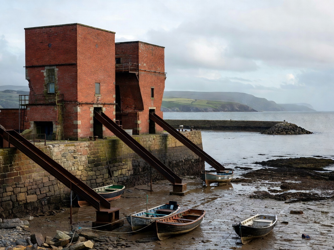
Trace maritime slate transport at Porthgain, tidal fishing traditions inside Solva’s fjord-like creek, and the sheltered moorings of Dale.
Pembrokeshire’s shoreline is subject to exceptional tidal ranges, frequently exceeding 7 meters in the Bristol Channel approaches. Exploring hidden inlets requires careful verification of Admiralty tide tables; numerous pocket beaches cut off completely three hours prior to high tide.
All walkers and sea kayakers are urged to respect the Pembrokeshire Marine Code. This collaborative charter between the National Park Authority, local conservationists, and coastal operators establishes voluntary exclusion distances around seal pupping beaches and sensitive cliff seabird breeding colonies from March through November.